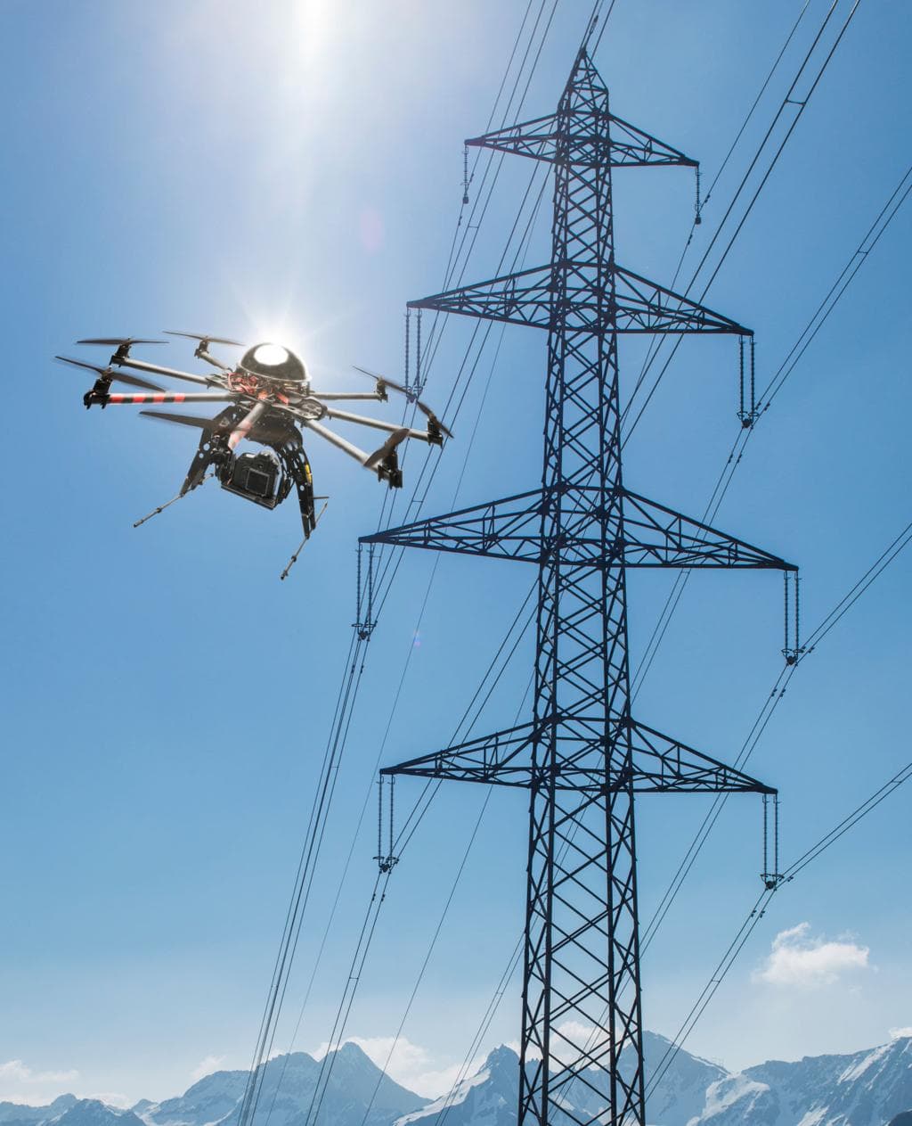
Drone & Geospatial
Drone Intelligence
Drones, thermal imaging, LiDAR, and automation — turning aerial data into maps, measurements, and decisions. For surveying, inspections, disaster response, and everything in between.
What It Is
More than aerial photos
Drones are no longer just for pictures. They're a fast, safe way to inspect, map, monitor, and measure a site — and gather far more detail than a person on the ground could.
We pair drone operations with automation, analytics, thermal imaging, and LiDAR to turn raw imagery into decision-ready intelligence.
So you're not just getting images — you're getting measurements, clear reporting, and a new way to understand your data.
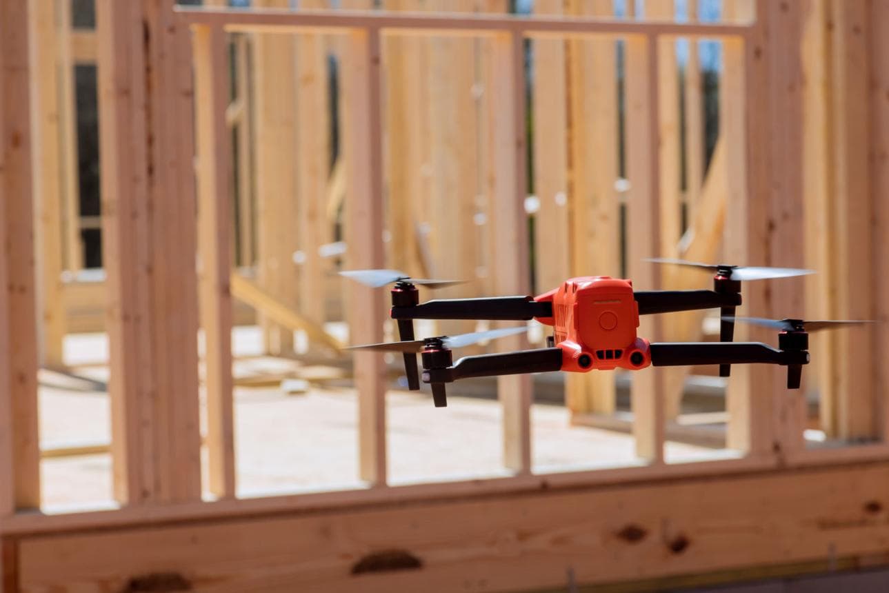
Why It Works
How drone technology improves results
Faster collection
Capture a site, structure, or property in minutes — not hours or days.
Safer inspections
Skip the climbing, manual checks, and time spent in hazardous areas.
Better accuracy
High-resolution imaging, thermal detection, and LiDAR mapping for precise analysis.
Smarter decisions
Automation and analytics that surface trends, issues, and opportunities faster.
Who We Work With
From disaster response to job sites
First Responders
Search and rescue, disaster response, thermal victim detection, scene awareness, and rapid aerial assessment.
Construction
Site-progress tracking, safety documentation, volume measurements, and project monitoring.
Mapping & Survey
LiDAR mapping, terrain models, topographic views, digital twins, and accurate site surveys.
Insurance
Roof inspections, storm-damage documentation, property analysis, and claims support.
Utilities & Energy
Power-line inspections, vegetation monitoring, thermal hotspot detection, and infrastructure reviews.
Environmental & Land
Land monitoring, habitat review, terrain understanding, and environmental data collection.
How Far You Want to Go
Levels of analytics
From a simple aerial capture to advanced automated analysis — you pick the depth.
Level 1
Data Capture
Raw aerial photos, video, and visual documentation for basic project visibility.
Level 2
Processed Insights
Organized deliverables, marked-up visuals, measurements, and structured reporting.
Level 3
Automated Analytics
Automated analysis to detect patterns, flag issues, and improve decisions.
Level 4
Predictive Intelligence
Advanced modeling and trend analysis for forward-looking monitoring.
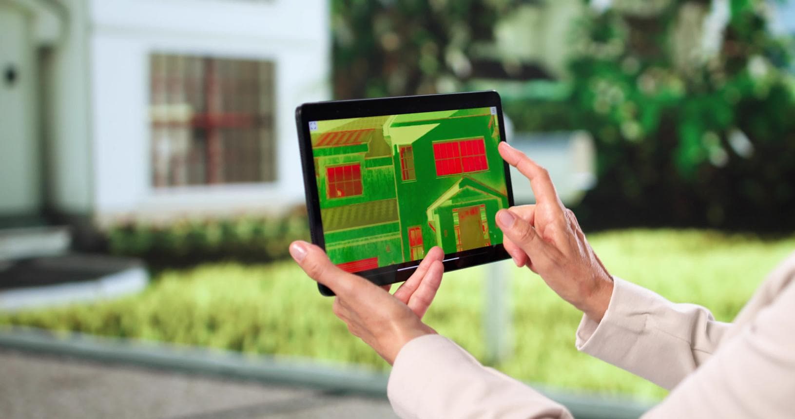
Deeper Insight
Thermal & LiDAR visualization
Thermal imaging and LiDAR go well beyond standard photography.
Thermal imaging detects heat signatures, electrical hotspots, hidden problems, and energy anomalies.
LiDAR builds highly detailed 3D maps, terrain models, and elevation views for advanced site understanding.
Introductory Pricing
Straightforward, starter-friendly pricing
We're expanding our drone services, so pricing is set at the lower end of the market to help you get started with the technology.
Basic Capture
$150 – $300
Aerial photo and video capture for small sites, basic documentation, and visual updates.
Standard Inspection
$300 – $750
Processed imagery, basic analysis, organized deliverables, and reporting.
Advanced Analytics
$750 – $2,000+
Thermal or LiDAR visualization, deeper analysis, and automated insights.
Custom quotes available for utilities, insurance, municipalities, emergency response, and ongoing analytics support.
Upgrade how you collect and understand data
Let's build a drone, automation, and analytics solution for your organization — from a single flight to ongoing monitoring.