Environmental & Geospatial
Environmental & Wildfire Analytics
Wildfire risk, remote sensing, and environmental monitoring — turning terrain, weather, and imagery into maps, forecasts, and decisions for the agencies and organizations that protect land and people.
What It Is
Environmental data you can act on
Environmental risk is a data problem: terrain, fuel, weather, imagery, and history all shape what happens next. Most of that data sits unused, in formats no one has time to reconcile.
We pair geospatial analysis, remote sensing, and forecasting to turn that raw data into wildfire risk maps, monitoring dashboards, and early-warning models.
So you're not reacting to conditions — you're anticipating them, with evidence you can defend.
What We Do
From raw terrain and imagery to decisions
Wildfire risk prediction
Fuel, terrain, and weather-driven models that estimate ignition risk, spread potential, and where to stage resources.
Remote sensing & GIS
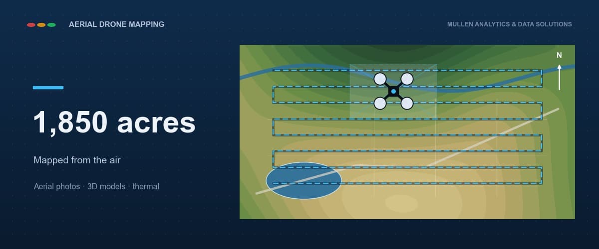
Drone, LiDAR, and satellite imagery turned into terrain models, vegetation and land-cover maps, and change detection.
Environmental monitoring
Track air, water, land, and habitat conditions over time — with clear, defensible reporting for stakeholders.
Disaster response
Flood, fire, and storm impact assessment and resource planning built for high-consequence, time-critical decisions.
Who We Work With
Built for the people protecting land and communities
Fire & Land Management
Wildfire risk mapping, fuel and vegetation analysis, and pre-season resource planning.
Counties & Municipalities
Hazard mapping, resilience planning, and environmental reporting for public stakeholders.
Utilities & Energy
Vegetation-encroachment monitoring, wildfire exposure analysis, and infrastructure risk review.
Emergency Management
Disaster impact assessment, evacuation and staging support, and post-event analysis.
Conservation & Research
Habitat and land-cover monitoring, data pipelines, and reproducible environmental modeling.
Insurance & Risk
Property wildfire and flood exposure scoring, imagery documentation, and claims support.
What You Get
What we deliver
From a one-time risk assessment to ongoing monitoring — you pick the depth.
Maps
Risk & terrain maps
Wildfire risk, vegetation, land-cover, and elevation maps built from imagery and field data.
Models
Forecasts & early warning
Weather- and fuel-driven models that flag rising risk before it becomes an emergency.
Dashboards
Monitoring dashboards
Living views of conditions and trends that update as new data comes in.
Reports
Field-ready reporting
Clear, defensible reports and exports for leadership, grants, and public accountability.
Get ahead of environmental risk
Let's turn your terrain, imagery, and history into wildfire risk maps, monitoring, and early warning — from a single assessment to an ongoing program.